Tornado Risk Low As Storm Chances Return Wednesday Afternoon
Oklahoma Weather Forecast: Bookmark this page and refresh it often for the latest forecast and daily updates.Wednesday, May 8th 2024, 7:20 am
OKLAHOMA CITY -
Temperatures look warm after severe weather on Monday but a cold front will sweep the state by Wednesday afternoon.
The risk of tornadoes is low for the next couple of days, we will be tracking any updates.
Rain and storms may return by Sunday.
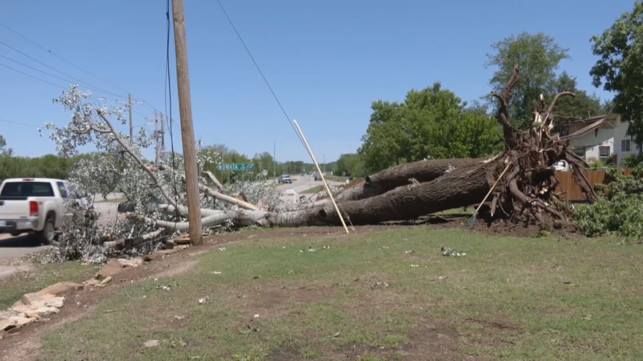
For a full look at May 6th's storms, click here.
What will the weather be like for Wednesday, May 8?
The cold front continues east Wednesday afternoon.

Humidity will drastically drop behind it and could spark severe weather to the southeast.
Southeast Oklahoma will be hot and very unstable and there is a moderate risk of severe storms.

The threats are very large hail, damaging winds, and isolated tornadoes.
This will create a chance for strong to severe thunderstorms in eastern and southeastern Oklahoma.

These storms will have a wind and hail threat, along with a low tornado threat.
Please make sure your friends and family are alert today.
Tonight, will be cool and dry! Lows in the 40s and 50s.

What will the weather look like for the rest of the week?
Thursday looks absolutely stunning! Low humidity, sunny skies, and 70s. This nice stretch continues thru Saturday. Rain and storms return Sunday and chances last off and on thru next week.

Much drier and beautiful weather returns for Thursday through Sunday, with very low storm chances.
Rain and thunder return by Monday of next week as energy from the west arrives. Right now, we are seeing rain off and on through Wednesday of next week.
Follow our meteorologists!

Get The Daily Update!
Be among the first to get breaking news, weather, and general news updates from News 9 delivered right to your inbox!
More Like This


May 8th, 2024


May 8th, 2024
Top Headlines
May 8th, 2024
May 8th, 2024